photo
Caption
Paddling Florida’s Big Bend
Location
Published
Dec 14, 2020
10:57 PM

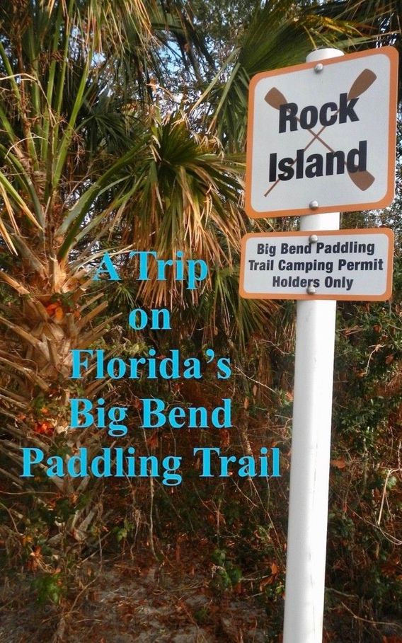
A Trip on Florida's Big Bend Paddling Trail

Mike Conneen paddling hard, into the wind.

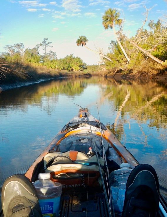
Running tenuously along a portion of Florida's Gulf Coast, the Big Bend Paddling Trail snakes its way from the Aucilla River to Yankeetown. It's 160 mostly undeveloped miles of wild coastline, dominated by salt marsh, oysters, and turtle grass flats. The Florida Fish and Wildlife Conservation Commission maintains the northern section of the trail, the Florida Park Service the southern part.

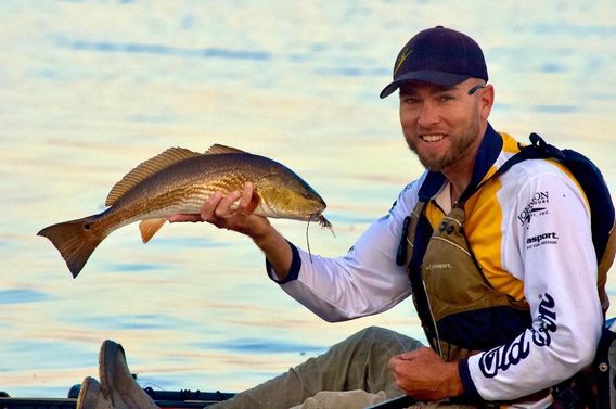
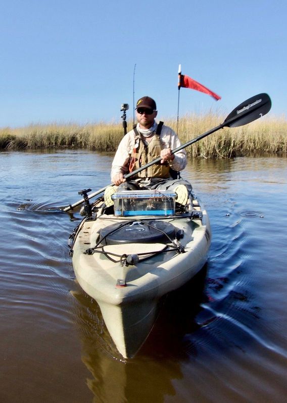
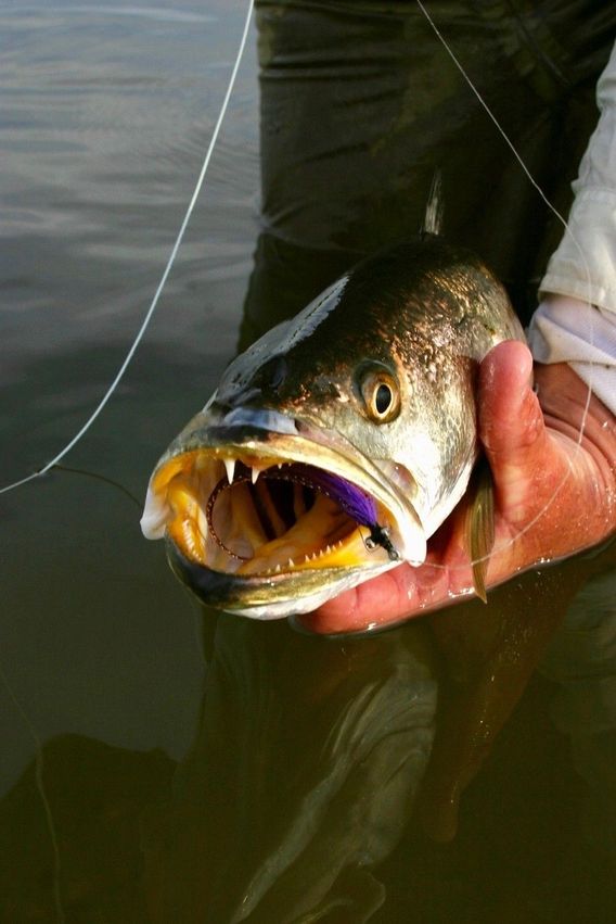
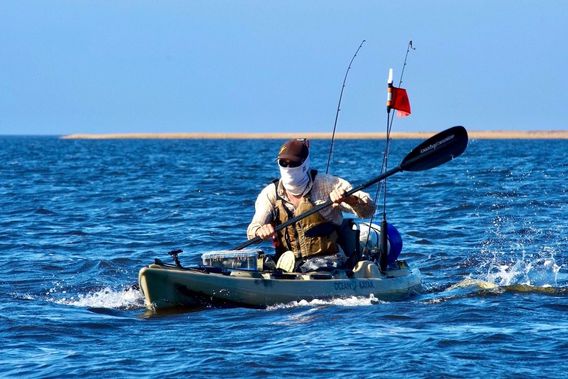
Mike Conneen and I paddled a portion, from the Aucilla River to Steinhatchee. Although it was only 70 miles, fierce headwinds made every day but one a lengthy and tiring battle with the elements. We both agreed it was the toughest trip we had ever taken. In spite of that we had time to catch some fish and observe nature. We both agreed it was a trip well worth taking.

To get more information to help with your own trip planning, visit the FWC website at https://myfwc.com/recreation/lead/big-bend/paddling-trail/ .

We got to do some fishing. Mike with a bluefish.
And with a redfish.
And with a redfish.
The campsites are roughly 10 miles apart. One is on the Econfina River, pictured here.
Our favorite campsite was on Rock Island, a speck of land in the Gulf of Mexico.
The Spartina grass goes on forever.
Mike paddles in a creek.
One of many sea trout we caught.
The day, and the trip, had to end, as both always do.
Magma Logo
Cover / 6
16 Likes, 48 Views